GEOGRAPHIC INFORMATION SYSTEM MAPPING
is a conceptualized framework that provides the ability to capture and analyze spatial and geographic data
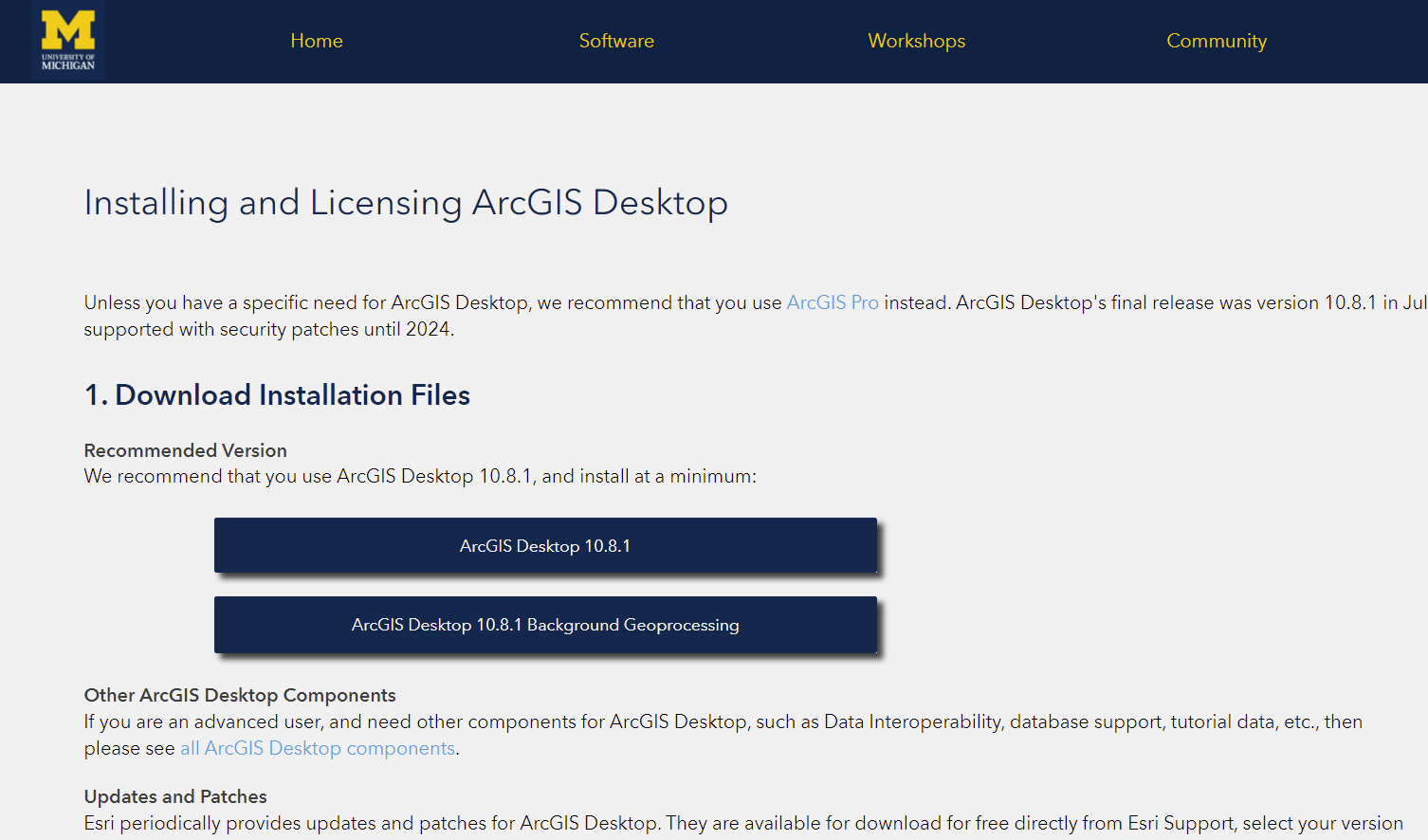
Installing GIS
GIS Support at the University of Michigan.
There are 3 types of GIS softwares available to download: ArcGIS Online, ArcGIS Pro, and QGIS. Descriptions are provided on the website.
GIS Tutorials
A series of videos that explores the main components of the ArcGIS Pro interface.
*Note: This is a video series. Click the “YouTube” button at the bottom right corner of the video to be directed to the playlist.
Beginner’s guide to QGIS
GIS Data
Look for Shapefiles and GIS information. Open Data works for most US cities, you can try similar keywords for other countries.
Texas Topographic Maps
USGS DEM Data
Earth Explorer
Clark Library


